











Earth observation · Web GIS · Geospatial Analysis · Conservation and NbS

I turn satellite data into tools people can use.

Building geospatial products and interactive web applications that transform Earth observation data into intuitive tools for conservation, climate resilience, disaster risk reduction, policy, and sustainable development.

EARTH OBSERVATION WEB GIS GEOSPATIAL ANALYSIS CONSERVATION AND NbS EARTH OBSERVATION WEB GIS GEOSPATIAL ANALYSIS CONSERVATION AND NbS

01 — About

Earth data,
made useful.

14.5995° N · 120.9842° E
Alvin Baloloy, Earth Observation expert and geospatial consultant
Alvin BaloloyEO and Geospatial Consultant

Hi! I’m Alvin Baloloy, an Earth Observation expert and geospatial consultant. I develop geospatial solutions that bridge science, technology, and decision-making. My work combines satellite remote sensing, cloud computing, and interactive mapping to help governments and organizations understand landscapes, monitor environmental change, and plan for a more resilient future.

With over a decade of experience in Earth observation, I have led national-scale projects in forest mapping, geospatial product development, blue carbon studies, and Copernicus capacity development across the Philippines.

12+Years in Earth observation
InternationalAnd national mapping programs
850+Scientific journal citations
Earth EngineRemote sensingWeb GISNbS

Project experience

Led and completed
projects for:

National agencies, international institutions, universities, and conservation organizations.

European Union
World Economic Forum
Department of Science and Technology
Japan International Cooperation Agency
Tokyo Institute of Technology
Food and Agriculture Organization of the United Nations
Asian Development Bank
GAF AG
Wovoka Advisory
Oceana
University of the Philippines Diliman
Ateneo de Manila University
Philippines National Blue Carbon Action Partnership
Department of Environment and Natural Resources
Climate Change Commission Philippines
Zoological Society of London

02 — Selected work

Web applications

Purpose-built digital tools for environmental intelligence.

02Live application

Zoological Society of London · World Economic Forum

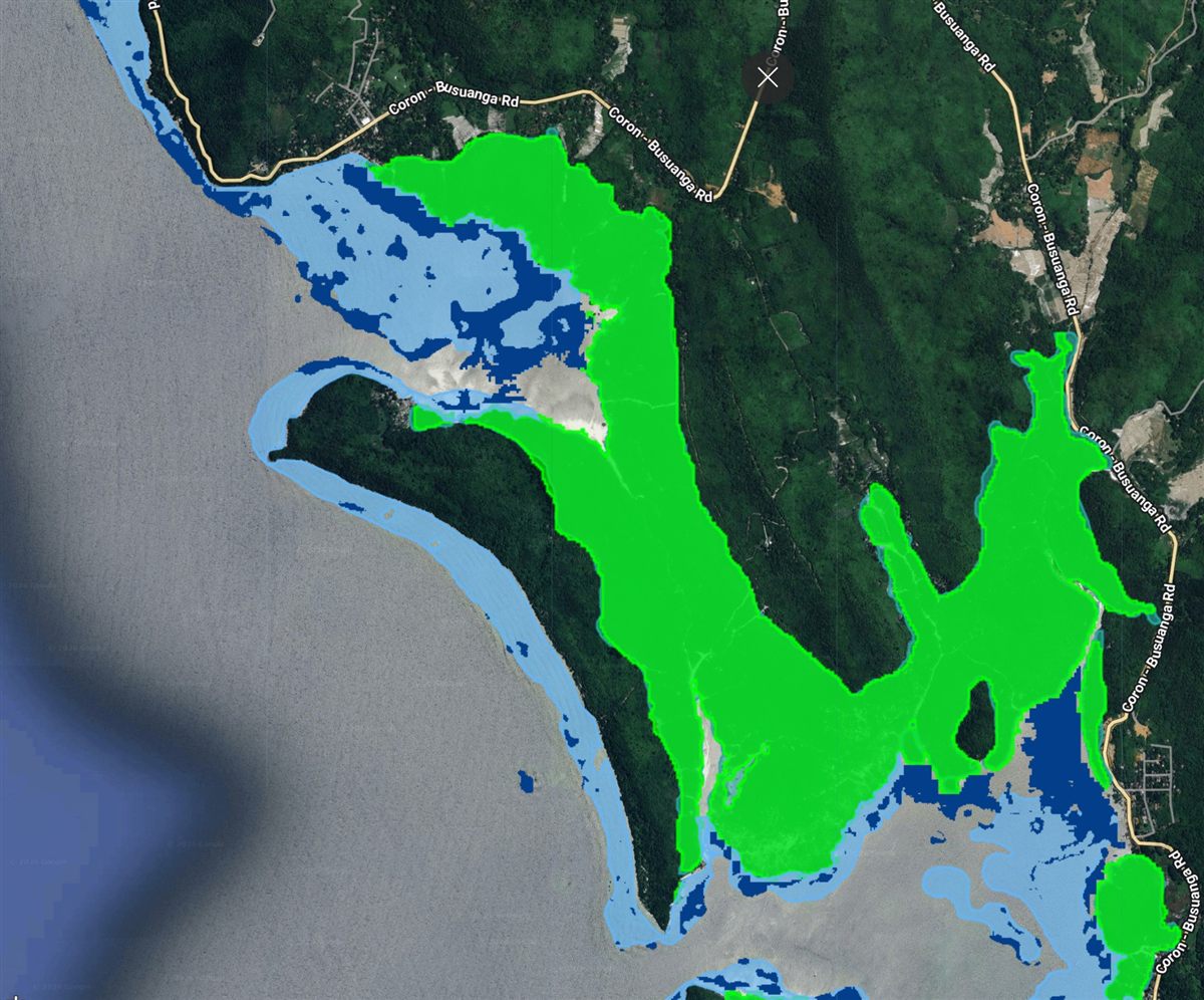
NBCAP Blue Carbon Ecosystem Explorer

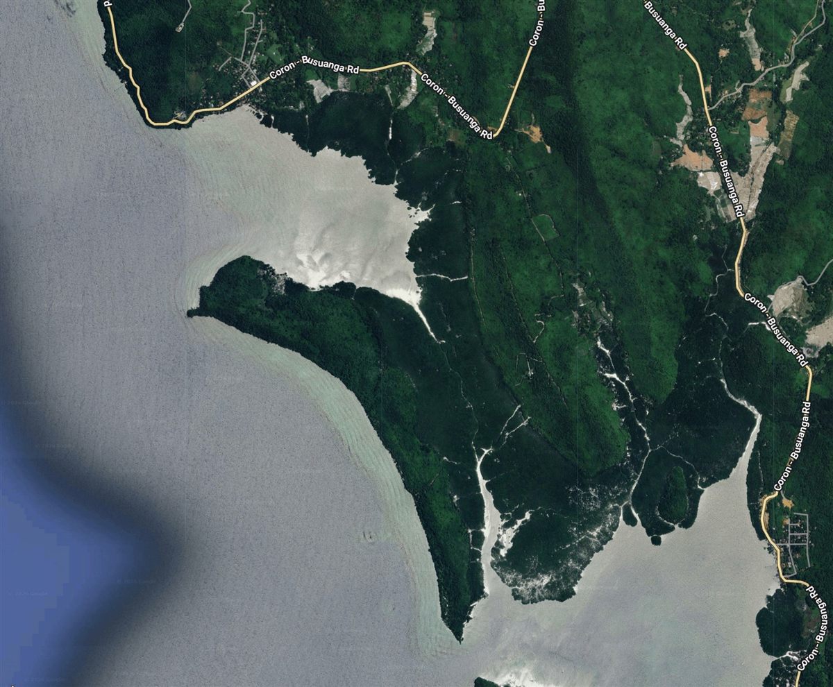
An interactive mapping platform that brings together national blue carbon datasets to support coastal conservation, ecosystem restoration, and sustainable management in the Philippines.

Google Earth EngineBlue carbonConservation
Open application
03Live application

Oceana

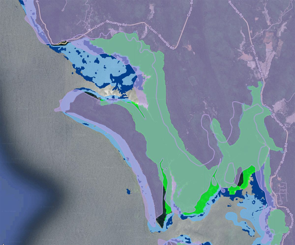
MangroveLEAF Restoration Tool

An interactive decision-support platform that identifies and prioritizes suitable sites for mangrove restoration using satellite imagery, environmental datasets, and spatial analysis.

Google Earth EngineMangrovesRestoration
Open application
04Live application

Japan International Cooperation Agency · University of the Philippines

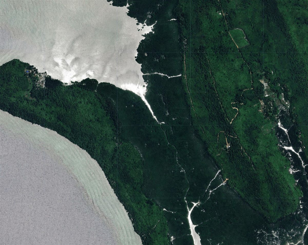
Mangrove Vegetation Index (MVI) Mapper

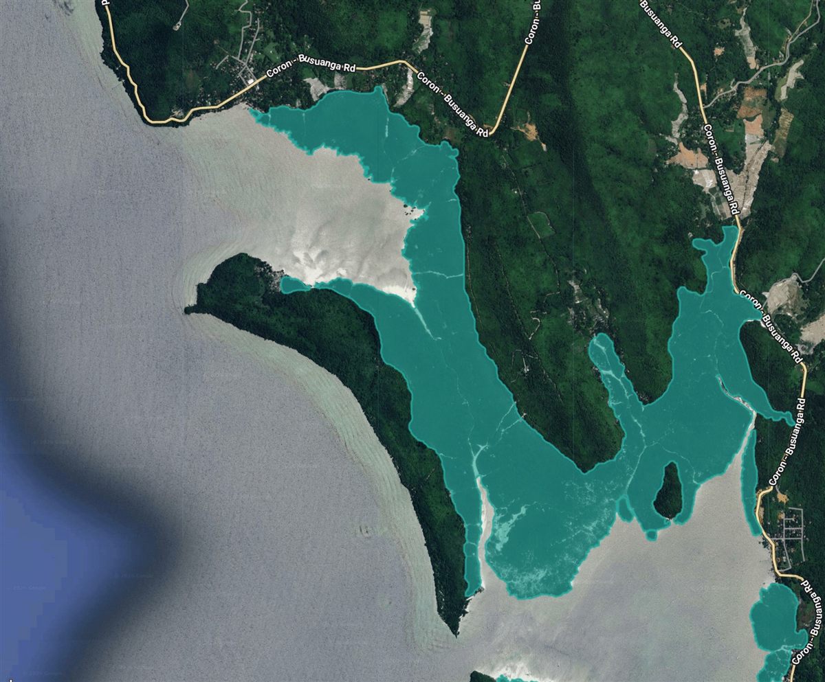
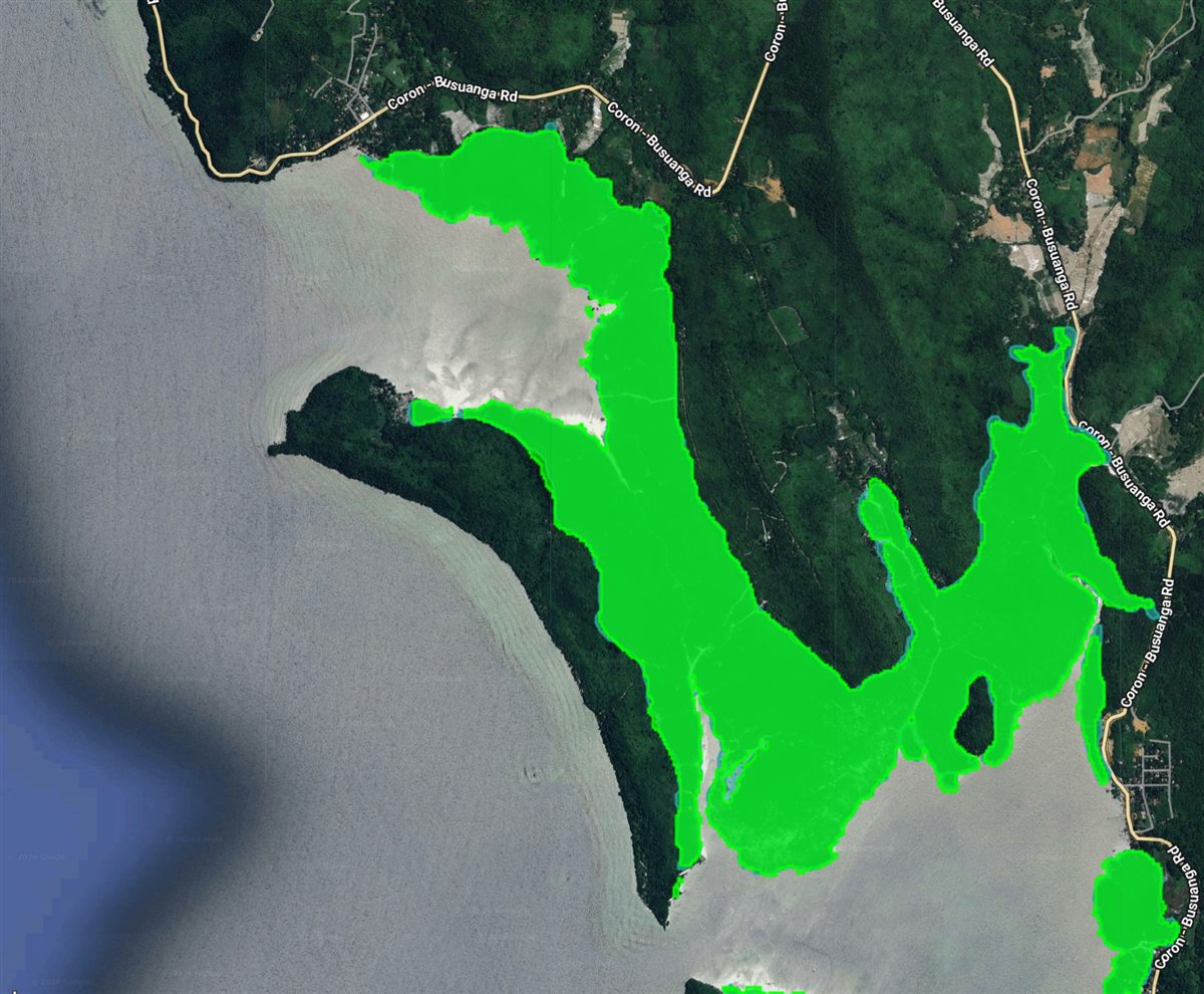
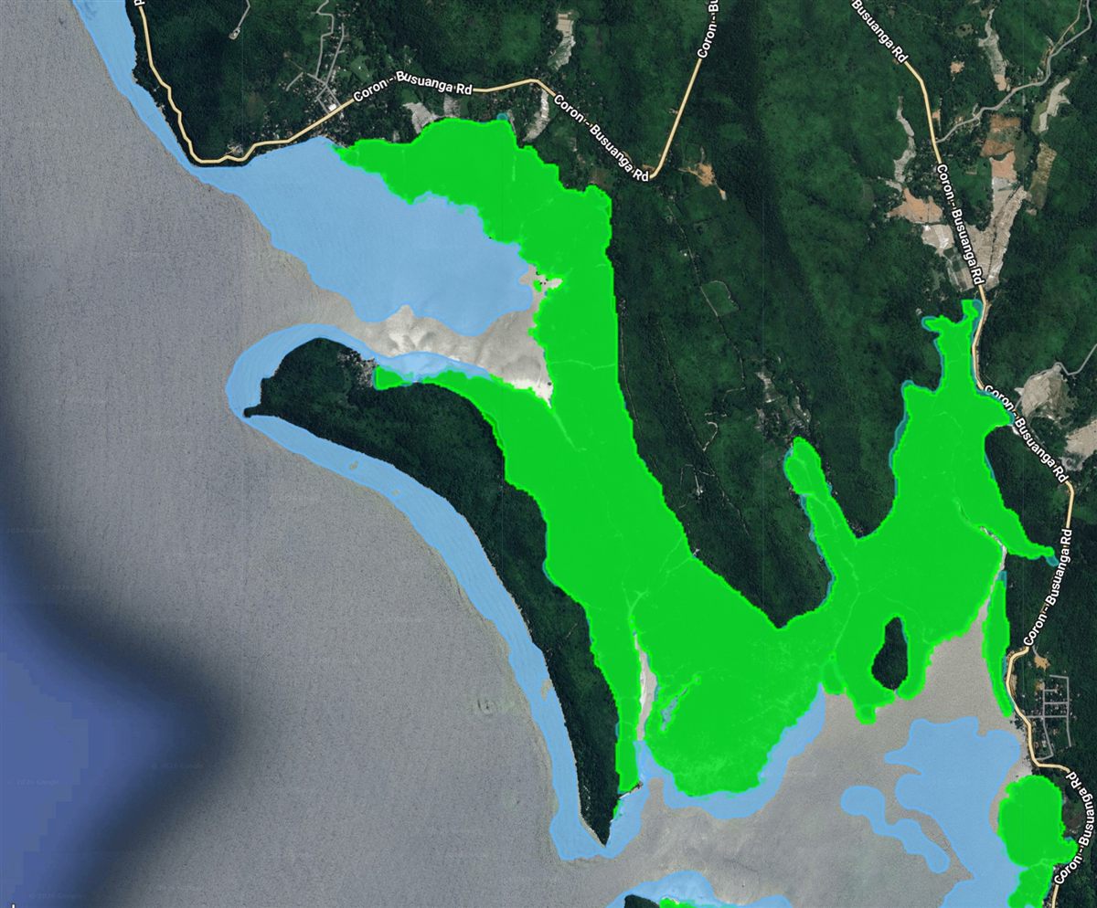
A GEE-based tool that automatically maps potential mangrove sites using MVI generated from Copernicus Sentinel data.

Google Earth EngineSentinelMangrove mapping
Open application

03 — Research & Publications

Research that moves
beyond the page.

25+

Articles on Earth Observation, Remote Sensing, Nature-based Solutions, Urban and Environmental Studies.

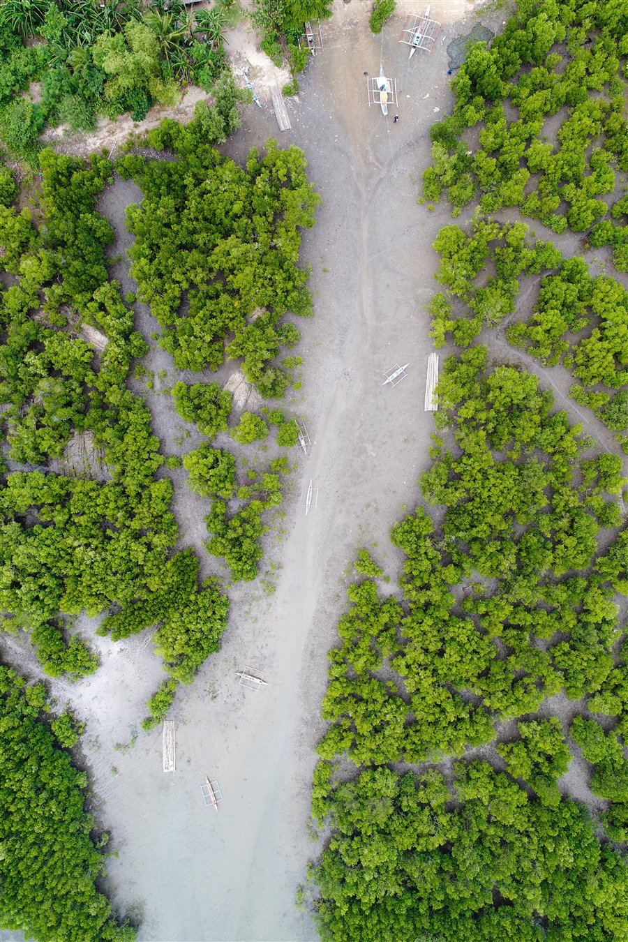
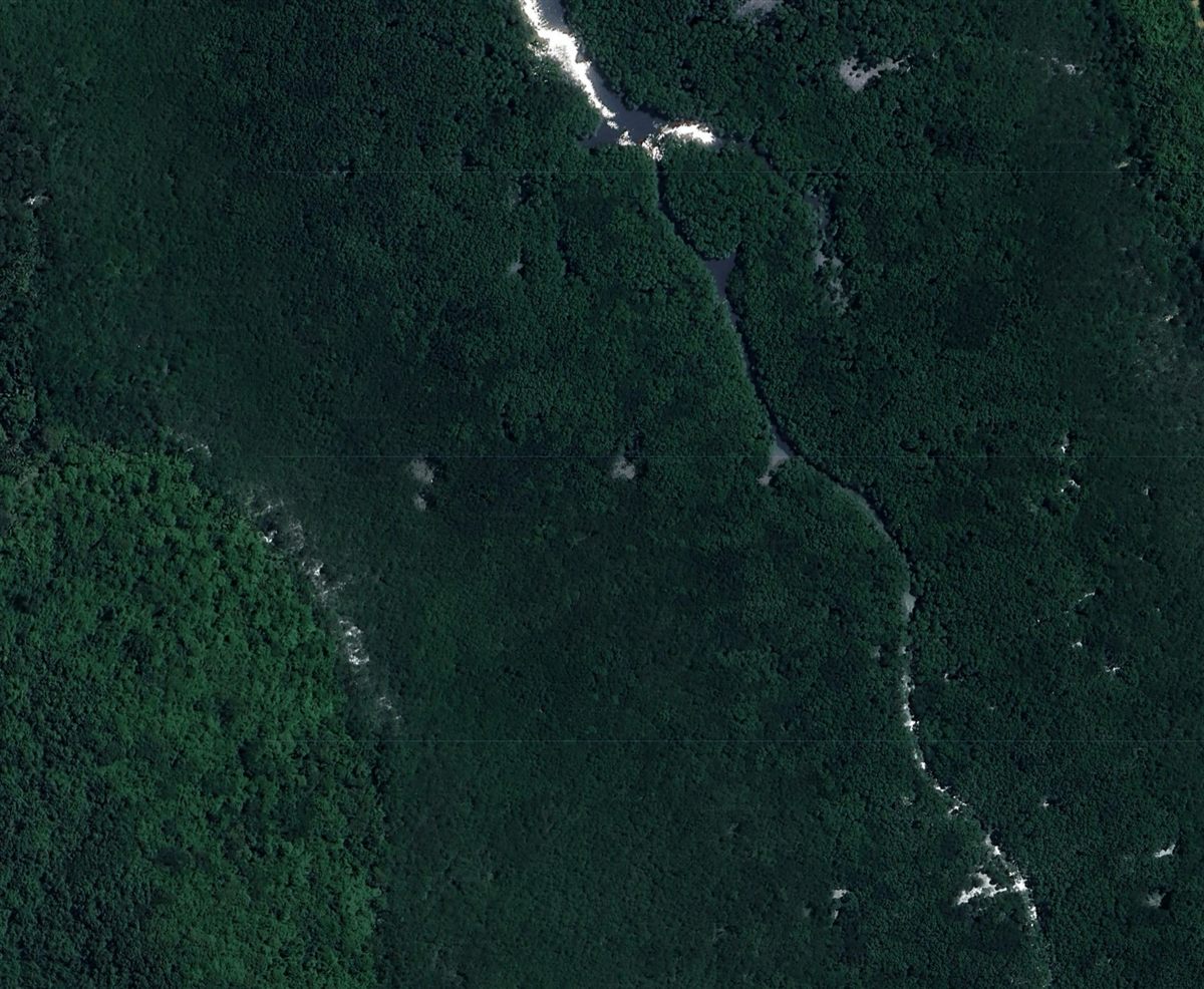
Vertical aerial drone view of mangroves and coastal channels in Bancal Bay, IloiloGlobal impact

Journal article · 2020

Development and application of a new mangrove vegetation index (MVI) for rapid and accurate mangrove mapping

Baloloy, A.B., Blanco, A.C., Sta. Ana, R.R.C., Nadaoka, K. ISPRS Journal of Photogrammetry and Remote Sensing, 166, 95–117.

MVI is now a globally adopted index.

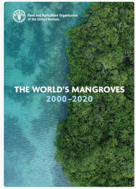
Used by organizations including the Food and Agriculture Organization of the United Nations, The Nature Conservancy, and academic institutions worldwide. FAO adopted MVI for The World’s Mangroves 2000–2020.

Utilized and featured in:
The World's Mangroves 2000–2020 by FAO
FAO · The World’s Mangroves 2000–2020
The Nature Conservancy Blue Carbon Explorer
The Nature Conservancy · Blue Carbon Explorer
Read the journal article
Climate Change Strategies book coverBook chapter

Book chapter · 2023

Mapping Multi-decadal Mangrove Forest Change in the Philippines

Vegetation Extent and Impacts of Anthropogenic and Climate-Related Factors

Baloloy, A.B. et al. In: Leal Filho, W., Kovaleva, M., Alves, F., Abubakar, I.R. (eds), Climate Change Strategies: Handling the Challenges of Adapting to a Changing Climate. Springer, Cham.

Read the book chapter
Explore the complete research recordSee all publications